
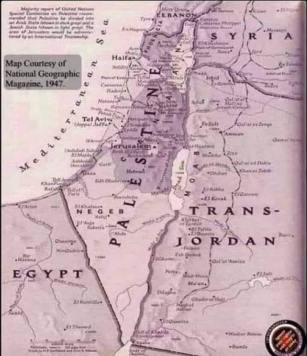
🚨🇵🇸 This is a 1947 map issued by National Geographic. 🇵🇸 There was no such thing called “Israel”.


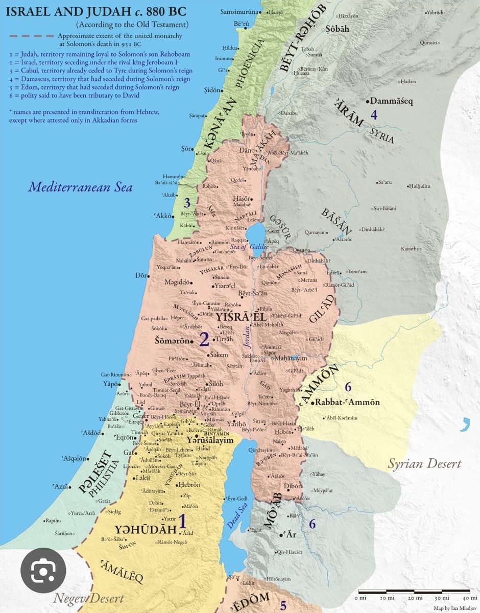
@jacksonhinklle Hmm, I think your map is nice but a bit too recent... I have one from a couple thousand years ago.


@jacksonhinklle And there was never a country called “Palestine” or “Saudi Arabia” either. Or “Jordan.” And a few decades before that, there wasn’t an Italy or a Germany. So what?

@CommunityNotes @NoteNeeded The text in the top-left corner was intentionally blurred. It explicitly talks about UN recommendation to divide the Mandatory Palestine (a territory ruled at the time by British Empire) into an Arab and a Jewish States. en.wikipedia.org/wiki/United_Na… It is also important to note that the Mandate for Palestine, assigned to Britain by the League of Nations in 1920, also required Britain to put into effect the Balfour Declaration's "national home for the Jewish people" alongside the Palestinian Arabs.


@jacksonhinklle Got any maps that go back more than seventy five years?

@jacksonhinklle That area is British Palestine. What is your point? There were Palestinian Christians, Arabs and Jews - all living on British land from 1918-1948. Is that fact debatable? I attached the 1934 Flag of Palestine.


@jacksonhinklle there was not and still not a recognized nation called Palestine. It was no more than a region. The Yukon Territory or Antarctica can be found on maps that go back to the 19th century….that does not make them countries.

@jacksonhinklle @CommunityNotes 1/2 Clarification neede. "Israel" isn't used, but the light grey area is "A Jewish State" Map is blurry,so text in top left corner not readable.


