Environmental crimes - land grabbing, selective logging, and wildcat mining - accelerate #deforestation, deter investment, and threaten #biodiversity. New geospatial tools are helping detect and disrupt these threats. My latest for @MongabayOrg. (1/6) news.mongabay.com/2024/04/new-te…
Take the case of @mapbiomas, an amazing high-res tool that tracks land use, deforestation, fire scars, and mining in #Brazil. It involves @Google, @Ecostage, @TerrasApp, @Imazon , @_UEFS, @ufrgsnoticias, @sospantanal and partners like @WRIBrasil, @arapyau, @FundacionAVINA. (2)

Also check out @MPF_PGR's Amazonia Protege which identifies infractions and triggers sanctions for those deforesting 60 ha or more. Supported by @ibamagov and @UNFLAbr, it uses @inpe_mcti imagery and rural land registry data to improve due diligence. amazoniaprotege.mpf.mp.br (3)

Another one is Brazil Mais which is powered by @planet and managed by @policiafederal and @sccongeospatial4. The tool provides real-time geospatial data on deforestation to +390 public agencies in Brazil. Savings made by fines and seizures already total $3 billion since 2021. (4)

Another predictive platform called #PrevisIA leverages geospatial mapping, machine learning and the Azure cloud to predict areas most at-risk of deforestation. It's a project of @Microsoft, @Imazon and @valenobrasil and has already identified 15,000 km2 of territory at risk. (5)

And @igarape_org's Amazonia in Loco platform was recently launched to help de-risk territories and accelerate green investment. It features over 80 metrics across all 772 municipalities of the Legal Amazon and intuitive maps and graphics. Available at amazoniainloco.org. (6)

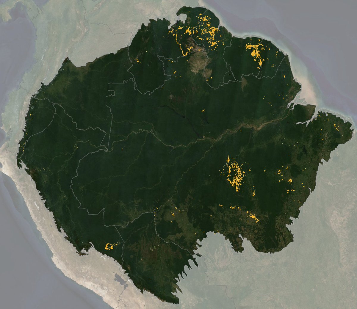
Another one to look out for is Amazon Mining Watch, a project involving the @earthrisemedia and @rainorest_RIN. The platform tracks legal and illegal mining across all Amazon countries, analyzing over 326 million high res images a month. amazonminingwatch.org/en#3.9/-5/-70